Marine
Java & Borneo - Marine Charts
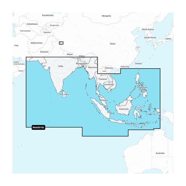
Indian Ocean & South China Sea - Marine Charts

Sumatra - Marine Charts

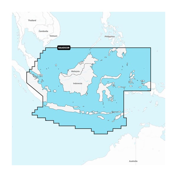
Central West Papua & East Sulawesi - Marine Charts

Indian Ocean & South China Sea - Marine Charts
You’re looking for our best, most up-to-date cartography for your Garmin chartplotter. Get it with Garmin Navionics+ and premium Garmin Navionics Vision+ integrated mapping solutions.
You’re looking for our best, most up-to-date cartography for your Garmin chartplotter. Get it with Garmin Navionics+ and premium Garmin Navionics Vision+ integrated mapping solutions.

Sumatra - Marine Charts
You’re looking for our best, most up-to-date cartography for your Garmin chartplotter. Get it with Garmin Navionics+ and premium Garmin Navionics Vision+ integrated mapping solutions.
With integrated coastal and inland content, Garmin Navionics+ and premium Garmin Navionics Vision+™ mapping solutions offer a vibrant Navionics® style color palette, access to daily map updates, advanced Auto Guidance+™ technology1 and much more. Check chartplotter compatibility.
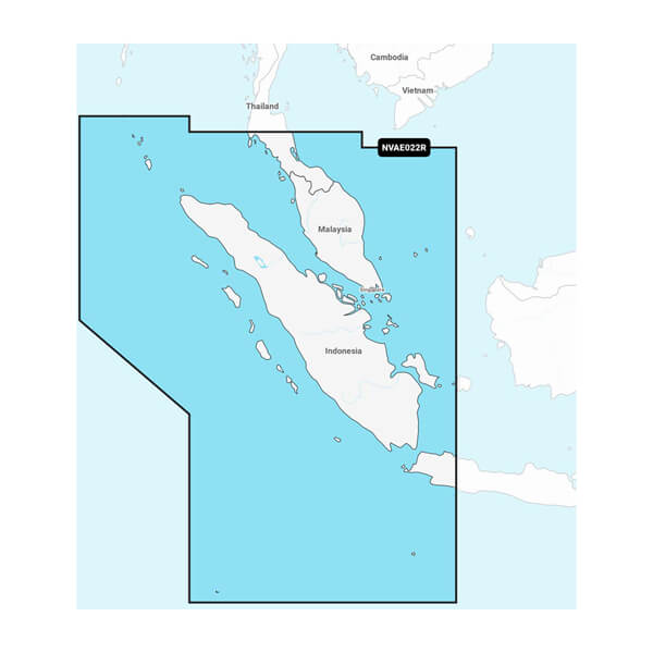

Java & Borneo - Marine Charts
You’re looking for our best, most up-to-date cartography for your Garmin chartplotter. Get it with Garmin Navionics+ and premium Garmin Navionics Vision+ integrated mapping solutions.
With integrated coastal and inland content, Garmin Navionics+ and premium Garmin Navionics Vision+™ mapping solutions offer a vibrant Navionics® style color palette, access to daily map updates, advanced Auto Guidance+™ technology1 and much more. Check chartplotter compatibility.
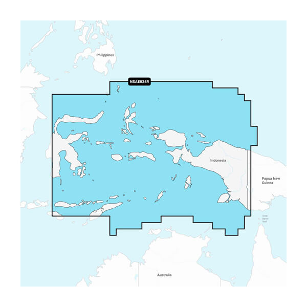
Central West Papua & East Sulawesi - Marine Charts
You’re looking for our best, most up-to-date cartography for your Garmin chartplotter. Get it with Garmin Navionics+ and premium Garmin Navionics Vision+ integrated mapping solutions.
With integrated coastal and inland content, Garmin Navionics+ and premium Garmin Navionics Vision+™ mapping solutions offer a vibrant Navionics® style color palette, access to daily map updates, advanced Auto Guidance+™ technology1 and much more. Check chartplotter compatibility.
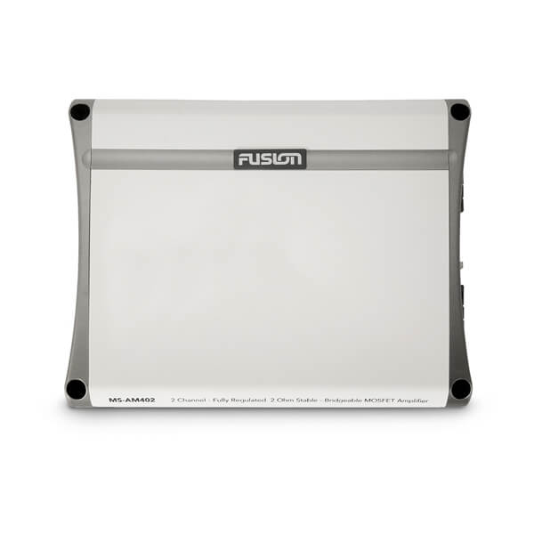
Fusion AM Series Marine Amplifiers
The AM Series amplifiers are purpose-built marine amplifiers designed for quality audio amplification on the water
Fusion AM Series Marine Amplifiers
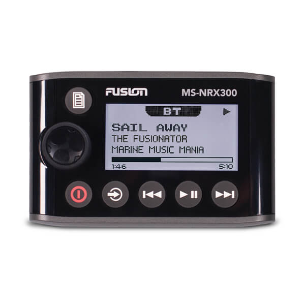
Enjoy the freedom and convenience of controlling your onboard audio entertainment and speaker illumination features with these easy-to-use Fusion remotes.
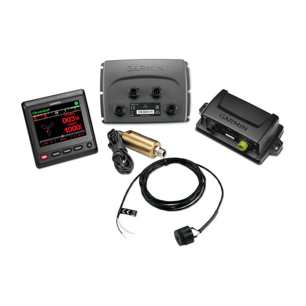
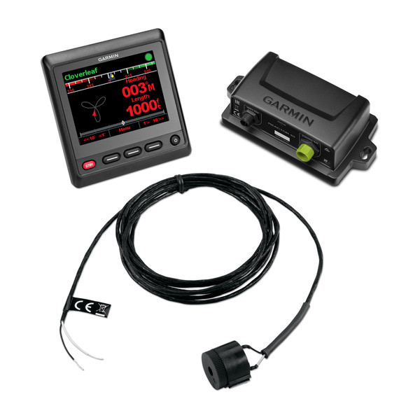
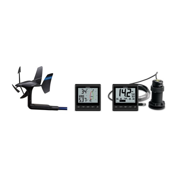
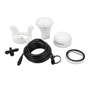
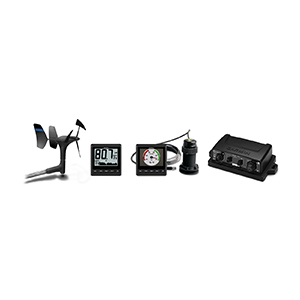
GNX Wireless Sail Pack 52 (DST810)
GMI/GNX Wired Sail Pack 52
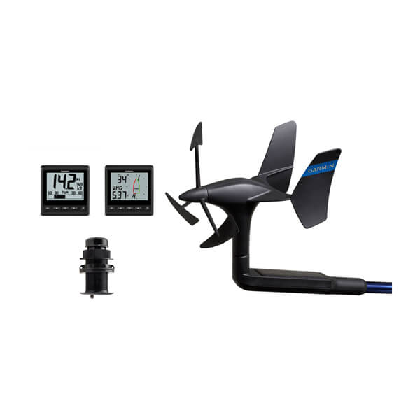
GMI 20, GNX 20, gWind Wired and DST810 transducers
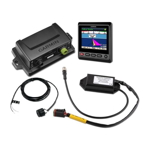
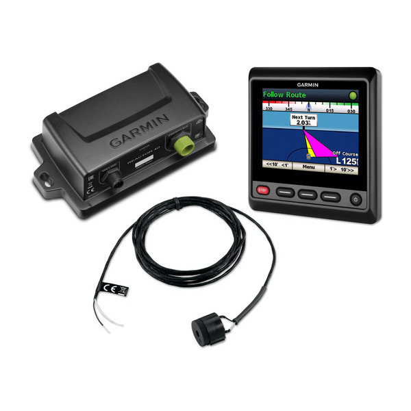
Reactor 40 Hydraulic Autopilot Series
Our Most Responsive Autopilot System on the Water
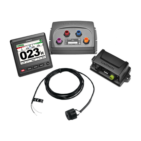
Reactor 40 Mechanical/Retrofit/Solenoid Corepack
Designed for powerboats and sailboats, the Reactor 40 autopilot gives you the extra hand you need, so you can explore paradise worry-free.
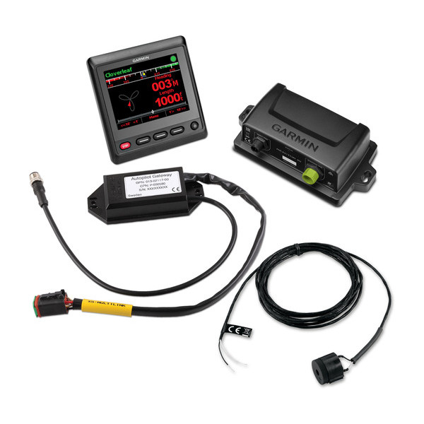
Reactor 40 Steer-by-wire Corepack for Yamaha Helm Master Series
Reactor 40 for steer-by-wire provides robust autopilot capabilities for Yamaha Helm Master systems.
Reactor 40 Steer-by-wire Corepack for Volvo Penta Series
Bring our Reactor 40 steer-by-wire technology to vessels with Volvo Penta Inboard Performance Systems (IPS) and stern drive joystick systems.
Reactor 40 Steer-by-wire Standard Corepack Series
Reactor 40 for steer-by-wire provides robust autopilot capabilities for SeaStar Optimus systems, Yanmar Marine ZT 370 stern drive electronic power steering systems and ZF 2800 Pod drives.
Reactor 40 Steer-by-wire Corepack for Viking VIPER
Reactor 40 for Viking VIPER steering systems brings our leading-edge marine autopilot technology to Viking yachts.
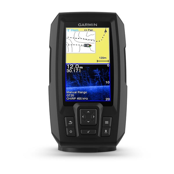
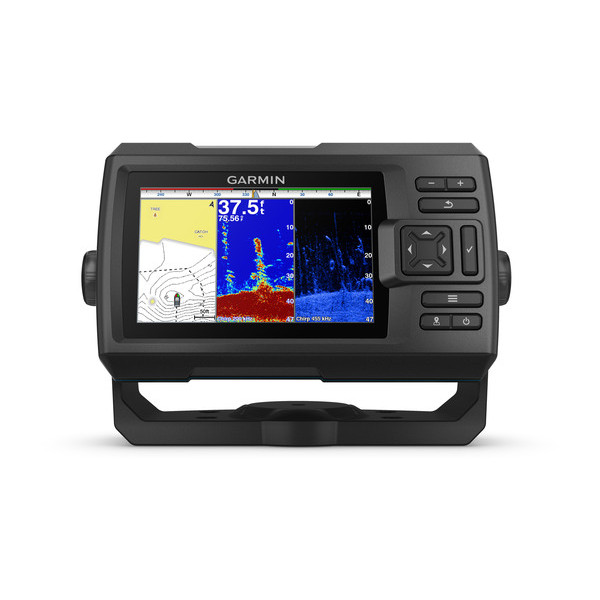
STRIKER™ Plus 4
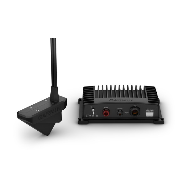
Panoptix PS22-TR
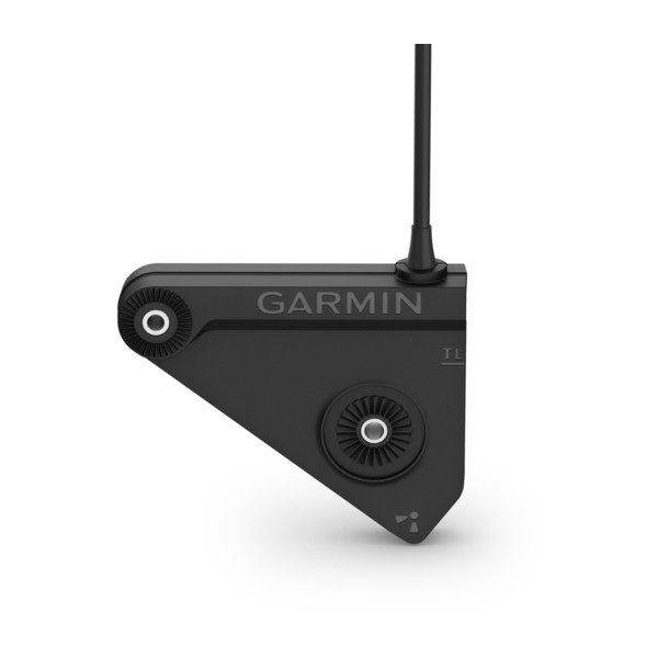
Panoptix LVS32 Transducer
Transom or Trolling Motor Mount
Panoptix LVS32-TH Transducer
Thru-hull Mount
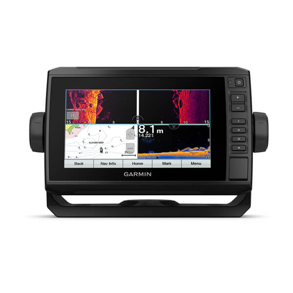
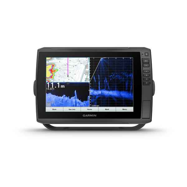
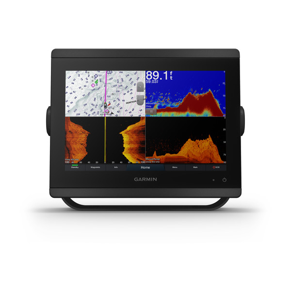
ECHOMAP Ultra 122sv
With GT56UHD-TM Transducer
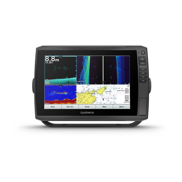
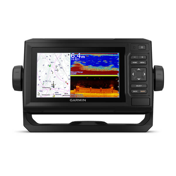
ECHOMAP UHD 72sv
Without Transducer
ECHOMAP Ultra 102sv
With GT56UHD-TM Transducer
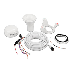
GNX Wireless Sail Pack 52
GMI/GNX Wired Sail Pack 52
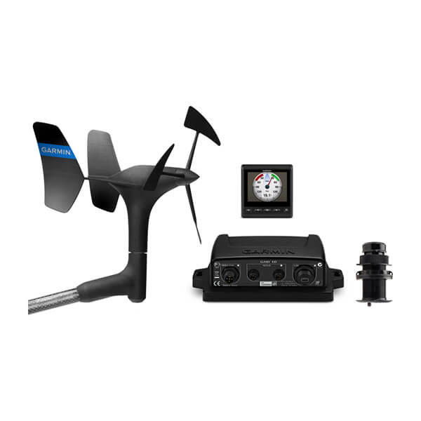
GMI Wired Start Pack 52
gWind Wireless 2 Transducer

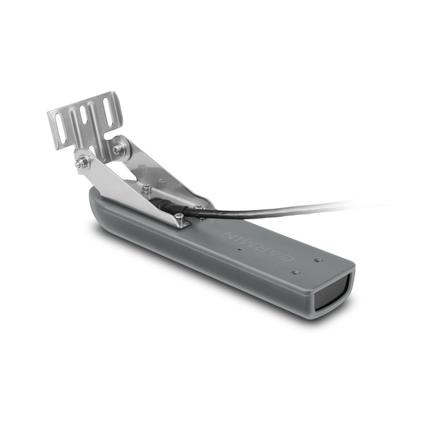
Garmin GT50M-TM
Garmin GT40-TM
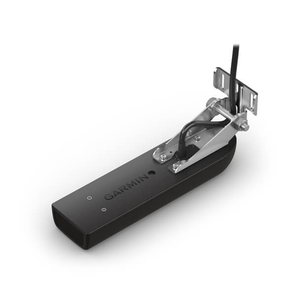
Garmin GT41-TM
9-axis Heading Sensor
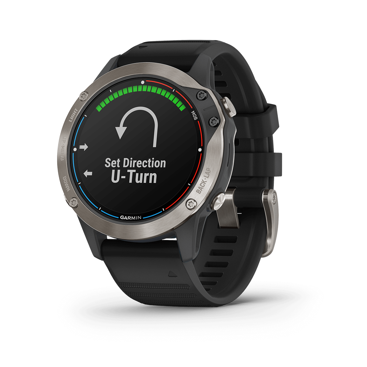
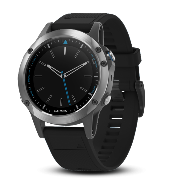
quatix 6
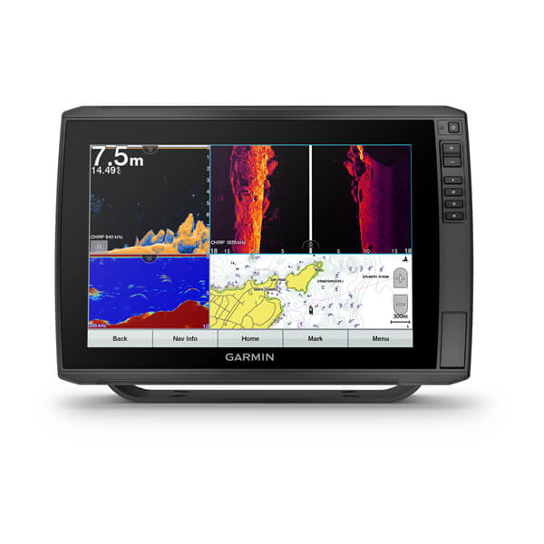
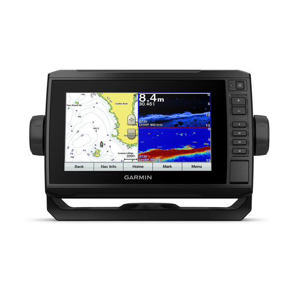
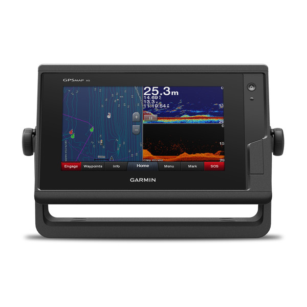
ECHOMAP UHD Series
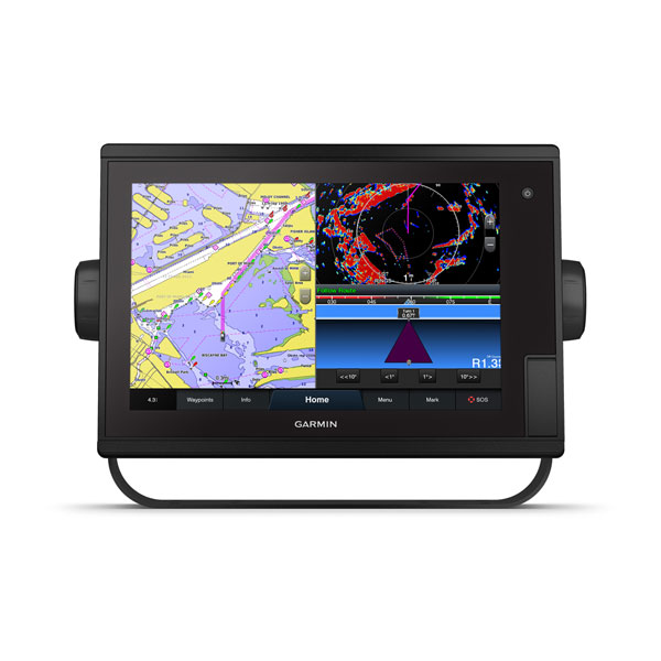
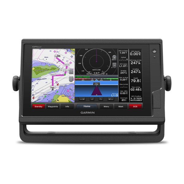
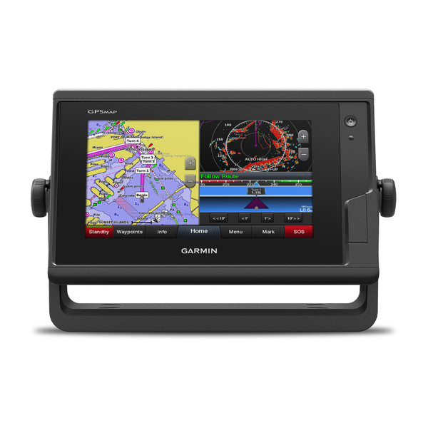
GPSMAP 1222 Plus
GPSMAP 922 Plus
GPSMAP 722 Plus
Garmin USB Card Reader
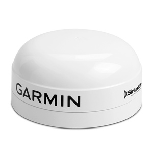
GXM 54
ECHOMAP Ultra 122sv
ECHOMAP Ultra 102sv
ECHOMAP Ultra 122sv
ECHOMAP Ultra 102sv
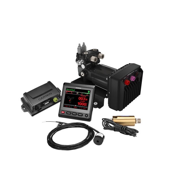
Reactor 40 Hydraulic Corepack with SmartPump v2
Reactor 40 Kicker Autopilot
Panoptix LiveScope LVS12
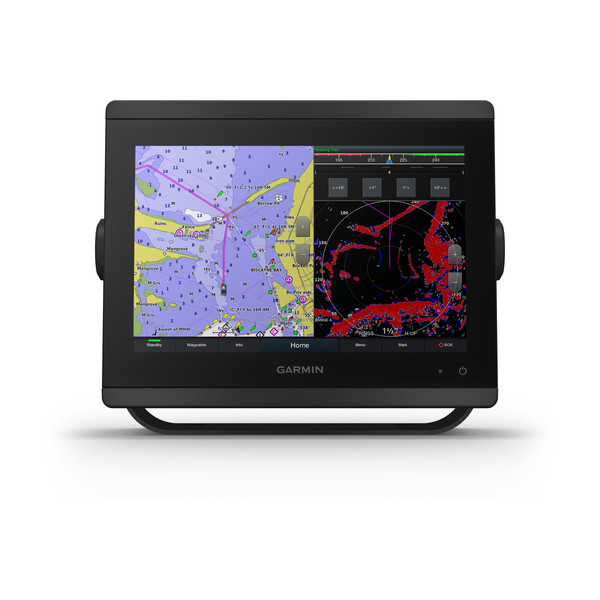
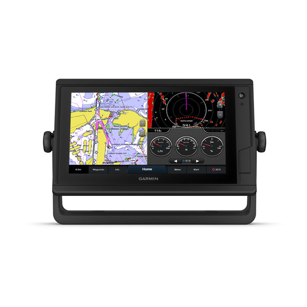
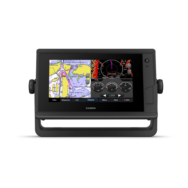
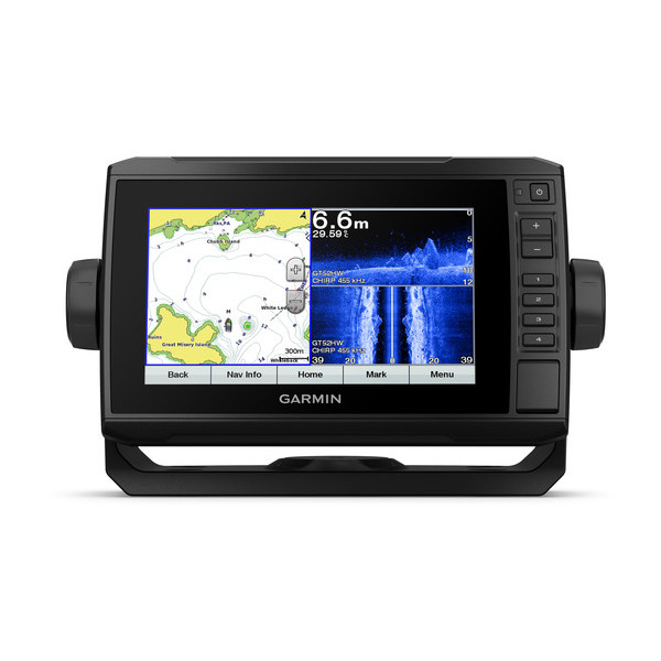
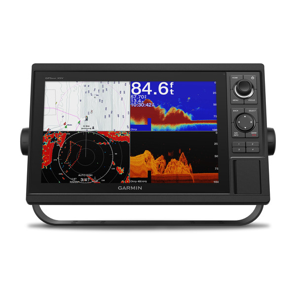
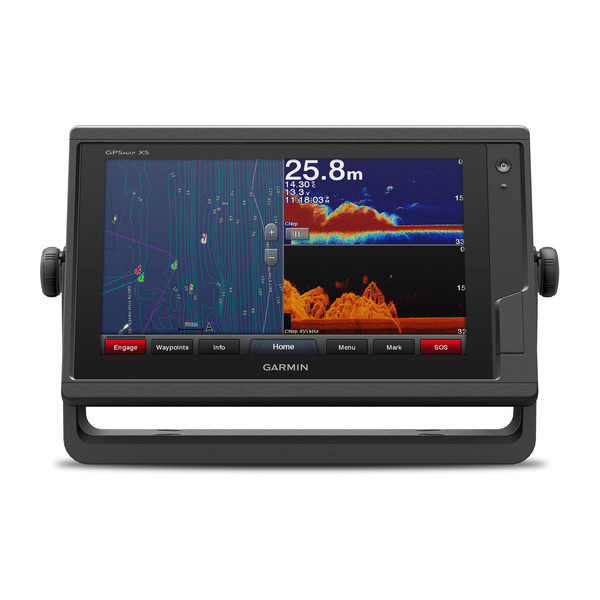
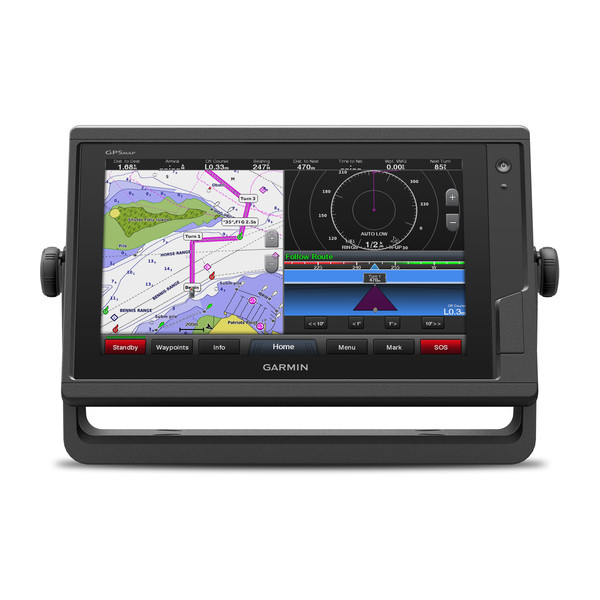
GPSMAP 8600 Series
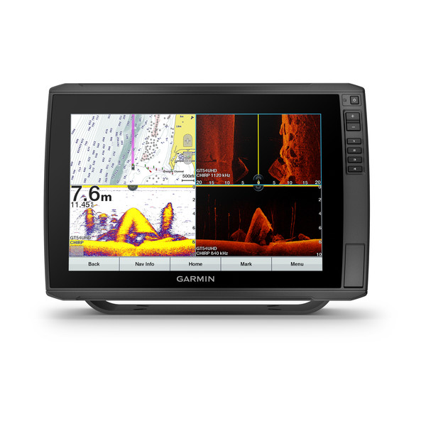
GPSMAP 8600xsv Series
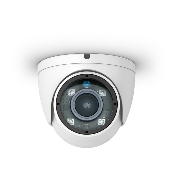
GC™ 12 Marine Camera

GTV5 Satellite TV Dome Powered by KVH®
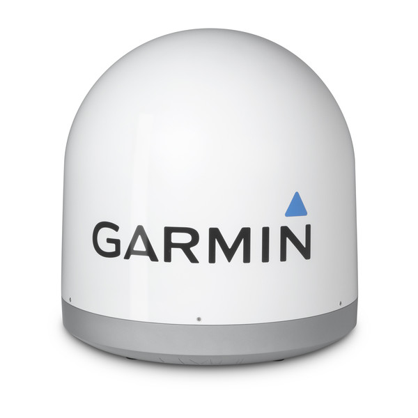
GTV6 Satellite TV Dome Powered by KVH®
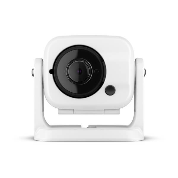
GC™ 100 Wireless Camera
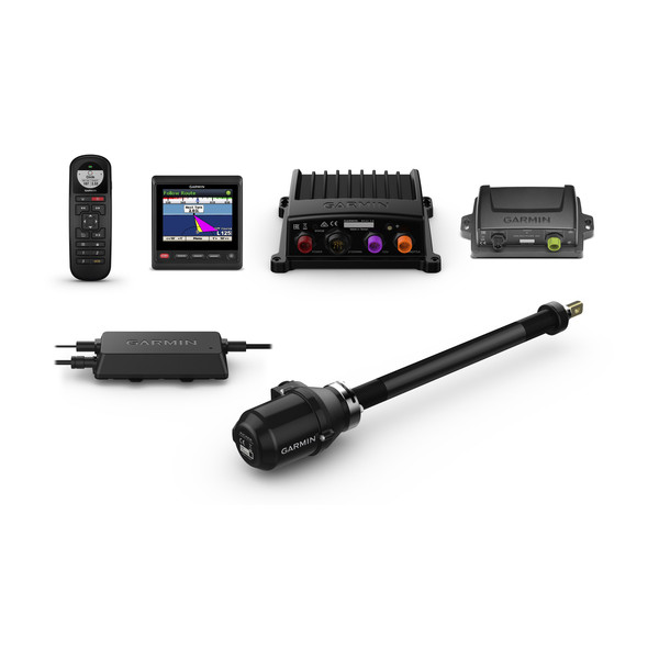
Panoptix LiveScope System
quatix® 5
ECHOMAP™ Plus 75cv
ECHOMAP™ Plus 65cv
STRIKER™ Plus 9sv
ECHOMAP™ Plus 45cv
ECHOMAP™ Plus 95sv
STRIKER™ Plus 5cv
STRIKER™ Plus 7sv
ECHOMAP™ Plus 75sv
STRIKER™ Plus 7cv
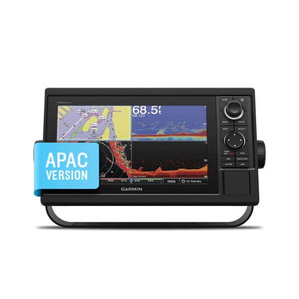
AQUAMAP 1052xs
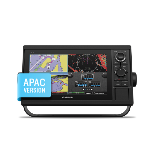
AQUAMAP 1052
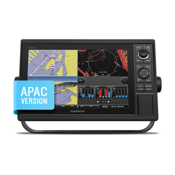
AQUAMAP 1252
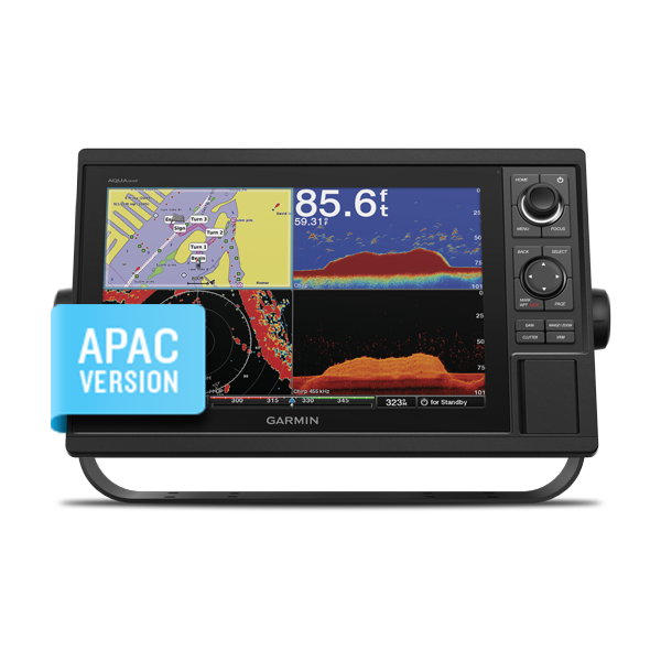
AQUAMAP 1252xs
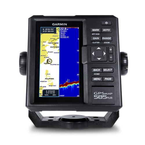
GPSMAP 585 Plus
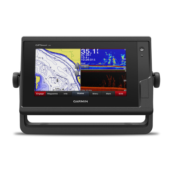
GPSMAP® 742xs
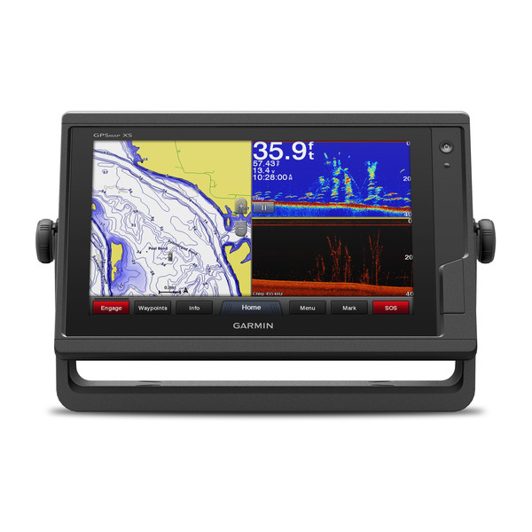
GPSMAP® 942xs
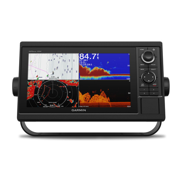
GPSMAP® 1042xsv
GPSMAP® 1242xsv
GPSMAP® 722xs
GPSMAP® 942
GPSMAP® 722
GPSMAP® 922xs
GPSMAP® 922

GPSMAP® 742
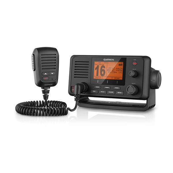
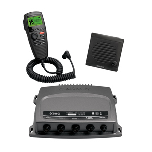
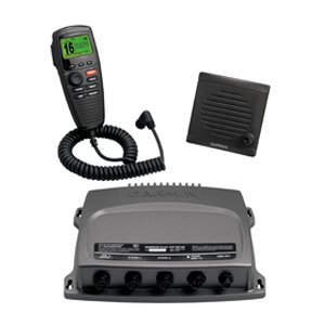
VHF 210 AIS Marine Radio
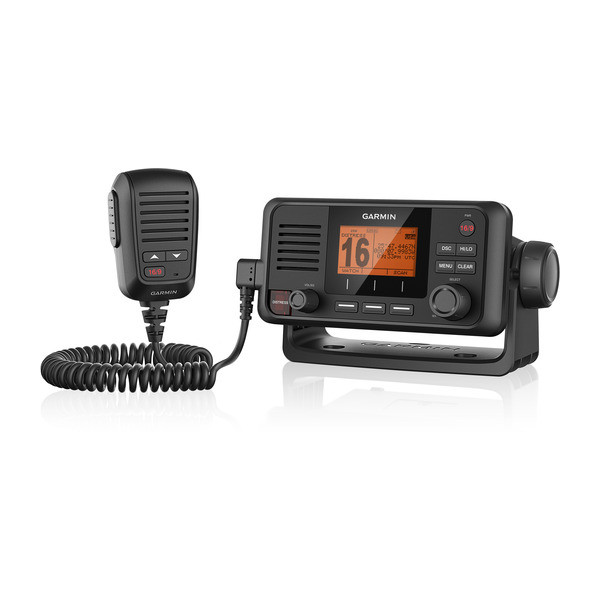
VHF 110 Marine Radio
BlueChart® Mobile
Plan & view routes on your iPad, iPhone or iPod with BlueChart Mobile. Easily and wirelessly transfer those routes to your networked chartplotter with a marine Wi-Fi adapter kit (sold separately).
Garmin Helm™
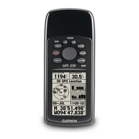
GPS 72H SEA
Make a splash with the GPS 72H, a lightweight, waterproof handheld that floats. Simple yet robust, the GPS 72H features high-sensitivity GPS and a USB connection along with its large screen, simple operation and rock-solid performance.
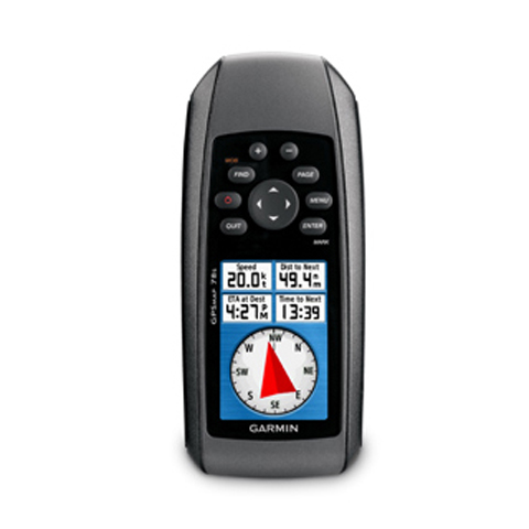
GPSMAP® 78s SEA
For boaters and watersports enthusiasts who want to run with the best, the rugged GPSMAP 78s features a 3-axis compass, barometric altimeter, crisp color mapping, high-sensitivity receiver, new molded rubber side grips, plus a microSD™ card slot for loading additional maps. And it floats!
Garmin Nautix™ In-view Display
GPS 19x NMEA 2000®
The highly accurate GPS 19x NMEA 2000 position receiver/antenna provides 10 Hz update rates for position, velocity and time data. It offers high-sensitivity reception and enhanced position acquisition to the Garmin family of marine multifunctional displays (MFD), instrument display and autopilots.
GPS 19x HVS
Marine Heading Sensor
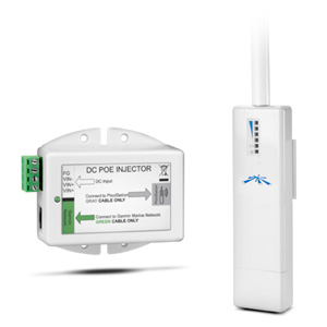
Garmin Marine Wi-Fi Adapter Kit
GXM™ 52
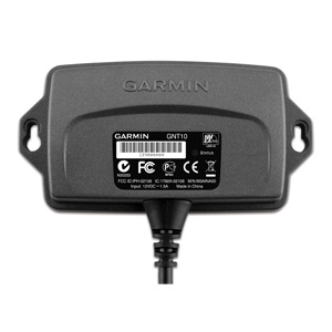
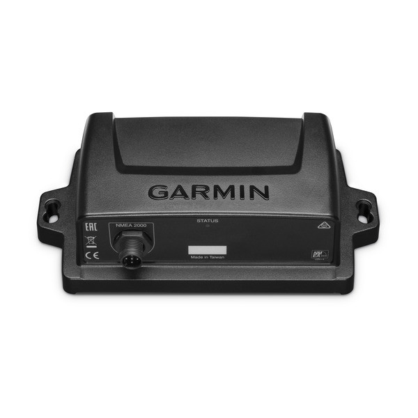
GNT™ 10 NMEA 2000® Transceiver
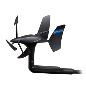
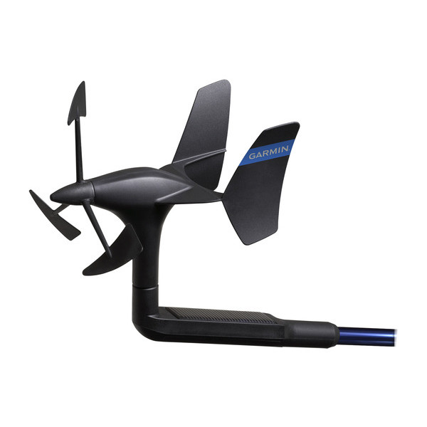
gWind™ Transducer Wireless
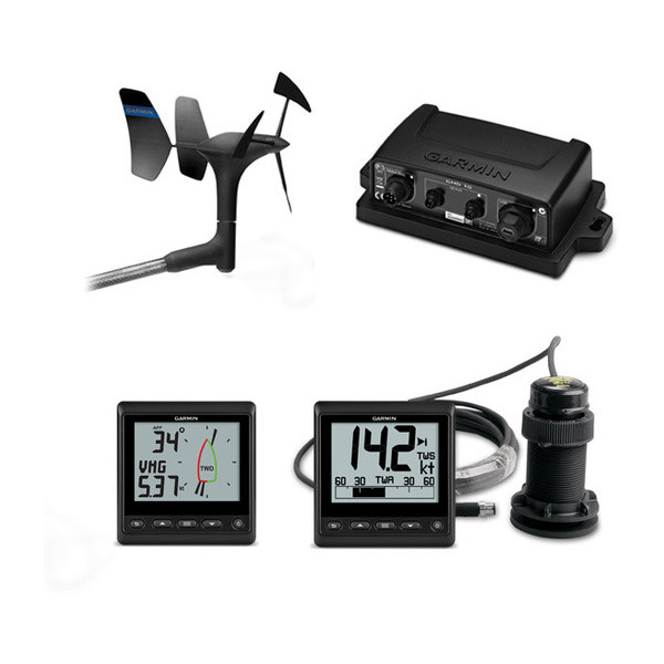
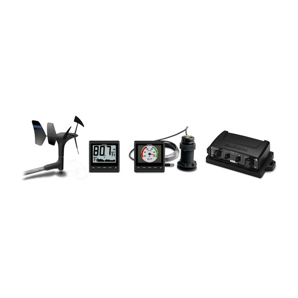
GNX™ Wind Wired Sail Pack
gWind™ Transducer Bundles

gWind™ Wireless Transducer Bundles
VHF 300 AIS
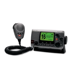
The Garmin VHF 300 AIS marine receiver combines radio communication and 1 or 25 watts of transmit power with multi-station support to give you the flexibility and convenience you need to safely navigate and communicate on the open waters.
VHF 100i